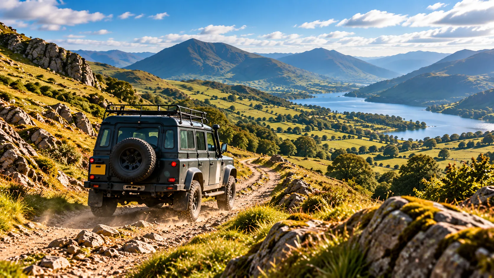
Green lanes and 4x4
Plan green lane routes
Routes on unsurfaced roads and tracks open to vehicles, joined up by the roads between them, on maps that show the lanes.
-
Green lane routing
Routes that prefer unsurfaced roads and tracks open to motor vehicles, and keep off motorways.
-
See the lanes
Satmap Adventure shows tracks and byways clearly; Premium adds Ordnance Survey and aerial photos to check the ground.
-
Climbs and the going
An elevation profile with the steep pulls and descents, and a time at off-road speeds.
-
A briefing for the drive Premium
The Activity Summary describes the roads and tracks, how remote the route is, and where fuel, food and help are.
-
Plan a weekend Premium
Split a trip into days with overnight stops.
-
Share with the convoy
Send everyone a link, or a GPX file for their own devices.
Check that every lane is open to vehicles, and its condition, before you set out: a lane's legal status and any restrictions can change, and they aren't on the map.
No signal? No problem.
Your route goes to XpeditionGO with the map for it, so you can follow it offline, beyond mobile signal, and record your track as you go.


Questions
Does it show which lanes are legal to drive?
Routing uses roads and tracks that map data marks as open to vehicles, but that isn't a legal record. Always check a lane's status and any restrictions before you drive it.
Does it work for trail riding on a motorbike?
Yes: plan the same lanes and roads, and the Activity Summary is written for trail riding.
Can I follow the route offline?
Yes. XpeditionGO downloads the map for your route, so you can follow it out of signal.