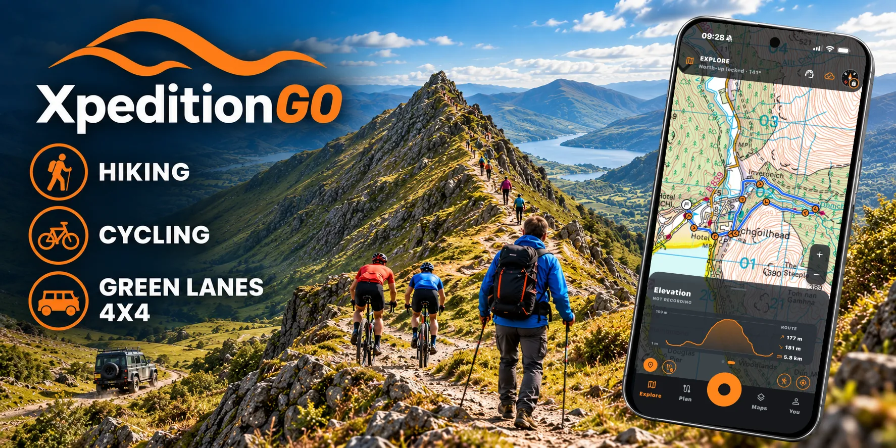


Satmap Adventure map · only in Xpedition2 & XpeditionGO
Plan it. Ride it. Walk it.
Plan routes on detailed Satmap maps, take them anywhere with XpeditionGO, and keep every track.
Plan, go, share
- 1
Plan
Draw your route on the web. It follows paths, cycle routes, roads or green lanes, with the climbs and the time it should take.
- 2
Go
Your routes are on your phone in XpeditionGO, with the maps to navigate offline, beyond signal.
- 3
Share
Send a link anyone can open, post it with a picture of the map, or send it to Garmin and Strava.
Made for the outdoors
-
Snap to the right paths
Footpaths on foot, cycle routes on a bike, roads or green lanes in a 4x4.
-
Climbs and times
An elevation profile with each climb, and a time worked out for your activity.
- Premium
Multi-day Xpeditions
Split a trip into days, each with its own route, stops and climbs.
- Premium
Activity Summary
A printable briefing: the map, the climbs, the figures and the places along the way.
-
Share with one link
A read-only link with a preview card on Teams, Facebook and WhatsApp.
-
Every map you need
Satmap Adventure, Ordnance Survey and the national maps of Europe and beyond.
XpeditionGO: navigate offline
Your Xpedition2 routes on your phone, with the maps downloaded so you can follow them where there's no signal. Record your tracks as you go.